Behind the science
The Mastcam-Z investigation has three primary goals:
- Characterize the overall landscape geomorphology, processes, and the nature of the geologic record (mineralogy, texture, structure, and stratigraphy) at the rover field site;
- Assess current atmospheric and astronomical conditions, events, and surface-atmosphere interactions and processes;
- Provide operational support and scientific context for rover navigation, contact science, sample selection, extraction, and caching, as well as imaging support for the other Mars 2020 instruments and rover tools.
![]()
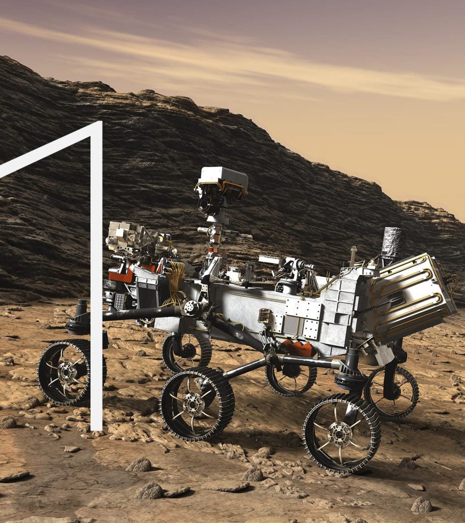
Geology and Geologic Context
Mastcam-Z images will document the geomorphology, geologic setting, topography, and the nature of past and present geologic processes in Jezero crater. The team will collect photos of rocks and outcrops as well as fine-grained regolith (soil and windblown sand and dust) to assess morphology, texture, structure, stratigraphy and stratigraphic sequence, as well as to help constrain rock type, mineralogy, depositional or erosional history, and any associated diagenetic and weathering characteristics.
![]()
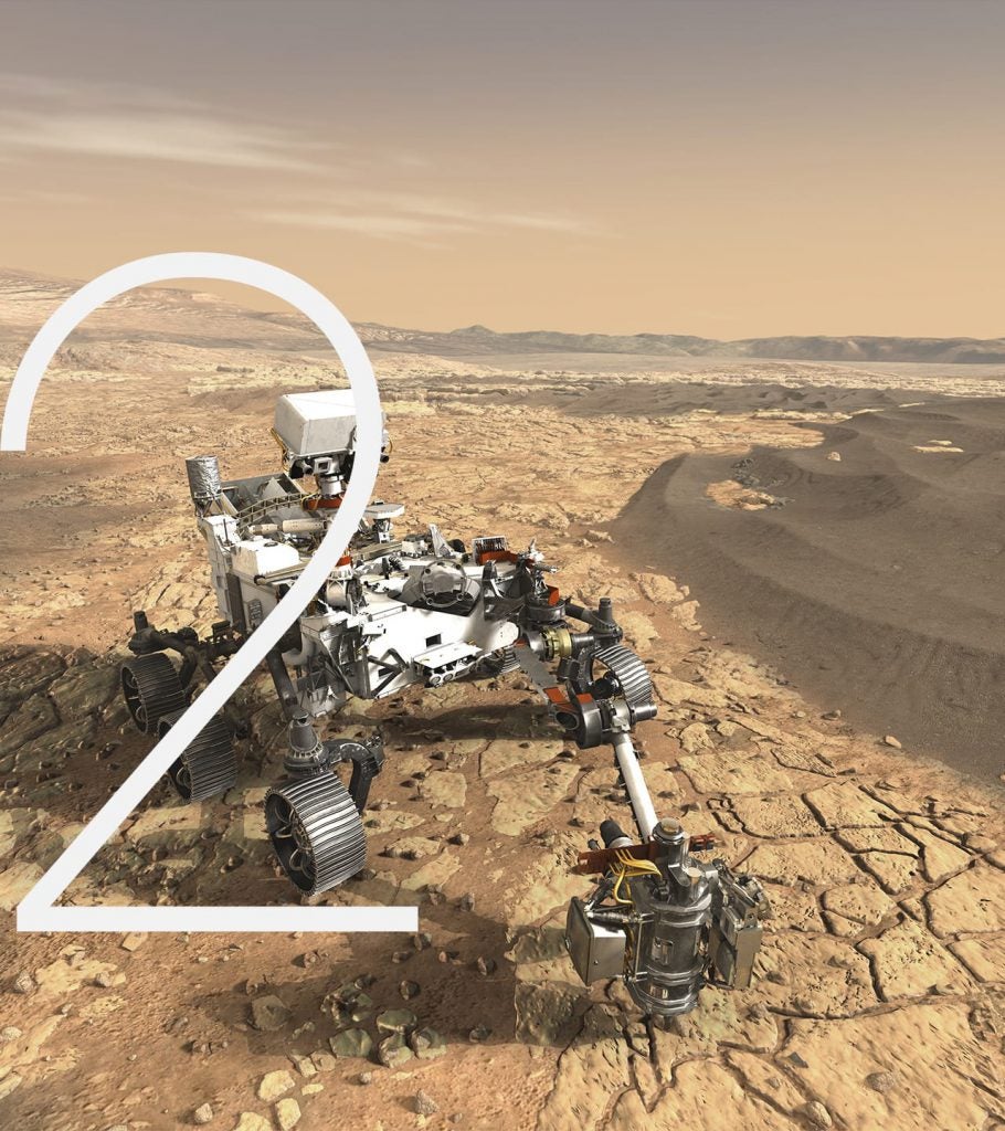
Current Mars Environment
Mastcam-Z images will be used to help assess current atmospheric and environmental conditions, events, and surface-atmosphere interactions and processes using observations of clouds, dust-raising events, properties of suspended atmospheric dust or ice, tracking of dust deposition and removal on calibration targets, and active windblown transport of fines. In addition, occasional astronomical observations can help determine night-time atmospheric conditions as well as further constrain the orbital properties and other characteristics of the moons Phobos and Deimos.
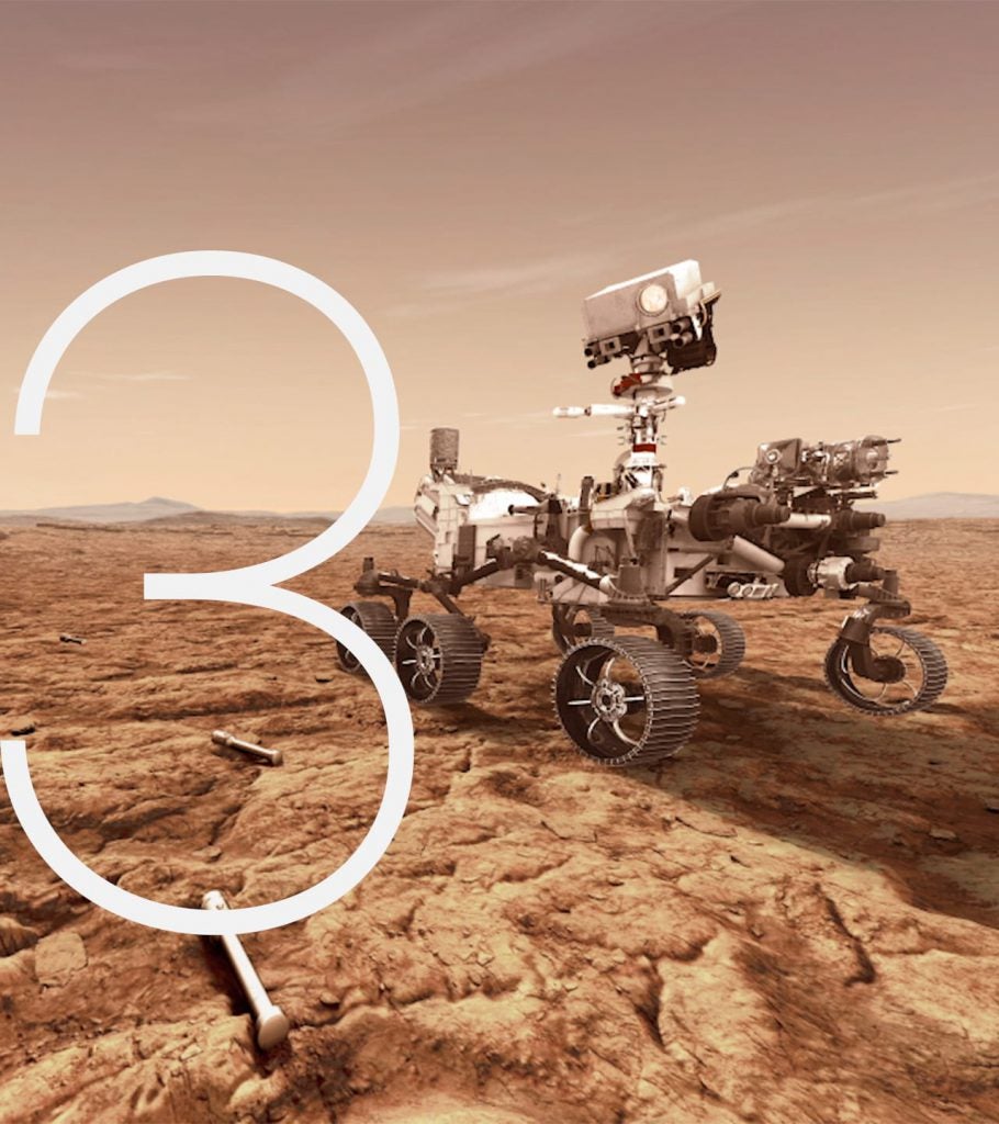
Operations Support
Mastcam-Z images will also provide operational support and scientific context for rover engineering activities like navigation, contact science, surface abrasion/dust removal, sample selection, coring, and caching, as well as imaging support that could help other Perseverance instruments and rover tools. Mastcam-Z images can help rover drivers by enabling more accurate determination of the location of the Sun and by providing higher-resolution information pertinent to rover traversability (e.g., distant hazards, terrain meshes, etc.).
Mastcam-Z Detailed Goals and Objectives
| Mastcam-Z Goals | Mastcam-Z Detailed Investigation Objectives |
|---|---|
| 1. Characterize the overall landscape geomorphology, processes, and the nature of the geologic record (mineralogy, texture, structure, stratigraphy) at the rover field site | 1-a. Characterize the morphology, texture, and multispectral properties of rocks and outcrops to assess emplacement history, variability of composition, and physical properties. |
| 1-c. Characterize the position, size, morphology, texture, and multispectral properties of rocks and fines to constrain provenance and weathering history. | |
| 1-d. Observe and monitor terrains disturbed by rover wheels and other hardware elements to assess surface to physical and chemical weathering. | |
| 1-e. Distinguish among bedform types within the vicinity of the rover to evaluate the modification history of the landscape. | |
| 1-f. Identify diagnostic sedimentary structures to determine emplacement history. | |
| 1-g. Characterize finer scale color/spectral variation (e.g., cm-scale veins, post-depositional concretions) to constrain provenance and diagenetic history. | |
| 2. Assess current atmospheric and astronomical conditions, events, and surface-atmosphere interactions and processes | 2-a. Observe the Sun for rover navigation and atmospheric science purposes. |
| 2-b. Observe the sky and surface/atmosphere boundary layer to measure atmospheric aerosol/cloud properties and transient atmospheric/astronomical events. | |
| 3. Provide operational support and scientific context for rover navigation, contact science, sample selection, extraction, caching, and other Mars 2020 investigations | 3-a. Acquire stereo images for navigation, instrument deployment, and other operational purposes on a tactical timescale. |
| 3-b. Acquire sub-mm/pixel scale images of targets close to the rover. | |
| 3-c. Resolve morphology and color/multispectral properties of distant geologic features and topography for longer-term science and localization/navigation planning purposes. |